|
| *****SWAAG_ID***** | 281 |
| Date Entered | 01/10/2011 |
| Updated on | 02/10/2011 |
| Recorded by | Alan and Judith Mills |
| Category | Mining Related |
| Record Type | Mining |
| Site Access | Public Access Land |
| Record Date | 29/09/2011 |
| Location | Slei Gill |
| Civil Parish | Arkengarthdale |
| Brit. National Grid | NZ 02019 03068 |
| Altitude | 320m approx |
| Geology | Limestone. A Hand Level on the West bank of Slei Gill situated at the foot of a small hush (name unknown) with a similar Hand Level opposite on the East bank. |
| Record Name | Hand Levels in Slei Gill |
| Record Description | Two hand levels located on opposite sides of Slei Gill, presumably to try the same vein or string, exposed as it crossed the gill. The level on the West bank is located below the footpath at the foot of a small hush (name unknown) running up the hill to the West. A similar hand level is located a little upstream on the opposite (East) bank, just above the beck. This latter level is run-in shortly after the entrance. Both levels are approximately 1m high by 0.7m wide; the photos show them to have a similar profile, suggesting they were driven by the same team. The level on the West Bank has what appears to be a bouse team below, for storing the ore extracted from the mine, and a spoil heap running down to the beck. There is much less spoil on the East side.
Photos by Stephen Eastmead & Alan Mills
NZ 02019 03068 & NZ 02077 03077 |
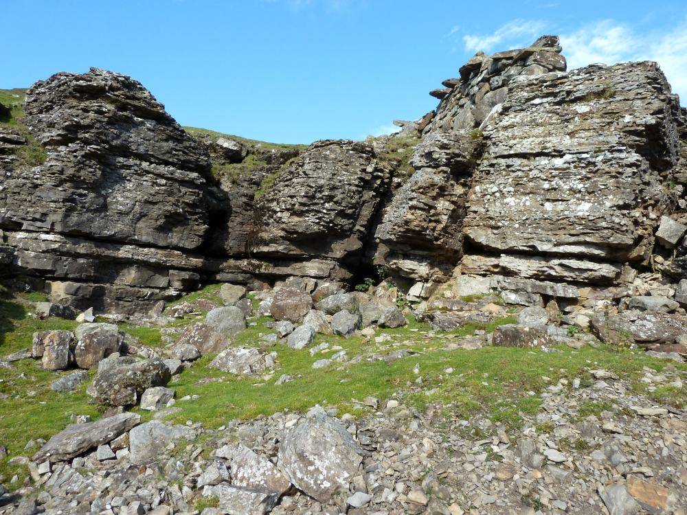
| Image 1 ID | 1051 Click image to enlarge |
| Image 1 Description | General view of location of hand level on West bank of Slei Gill |  |
| Image 2 ID | 1052 Click image to enlarge |
| Image 2 Description | Entrance to hand level on West bank of Slei Gill | 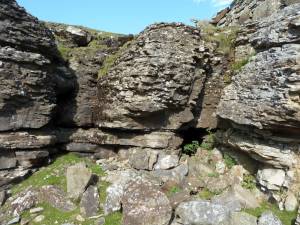 |
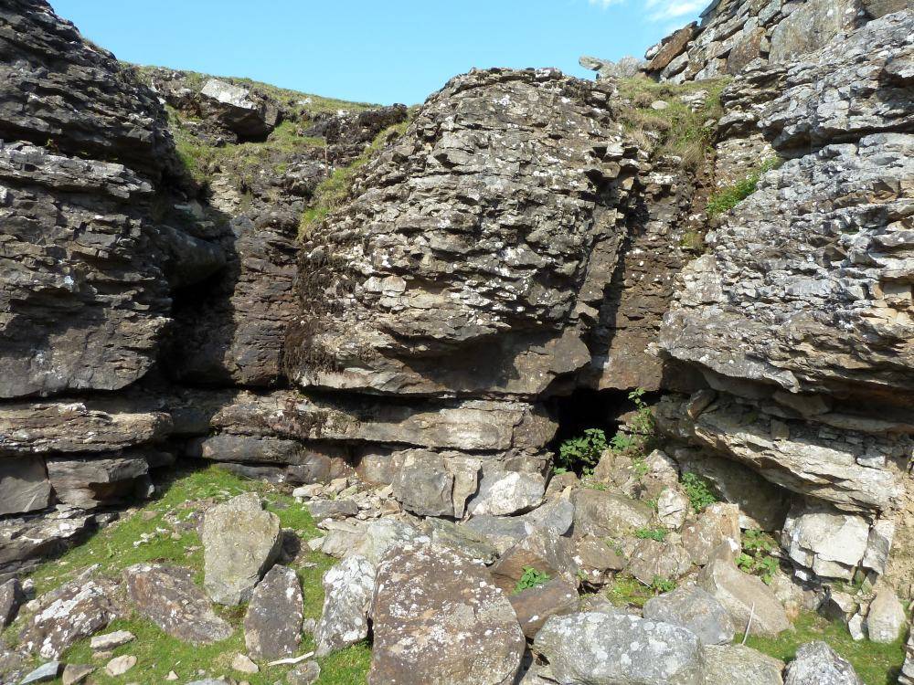
| Image 3 ID | 1053 Click image to enlarge |
| Image 3 Description | Close up of entrance to hand level on West bank of Slei Gill | 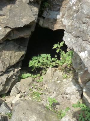 |
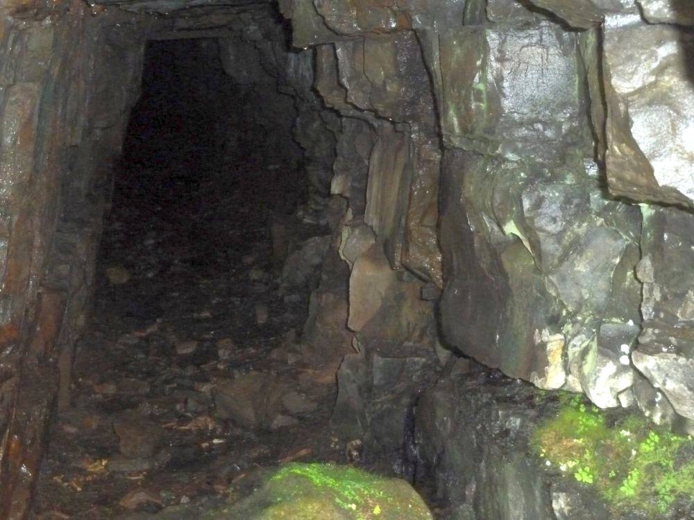
| Image 4 ID | 1054 Click image to enlarge |
| Image 4 Description | Looking into hand level on West bank of Slei Gill | 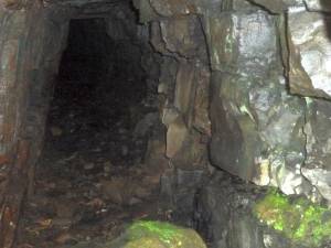 |
| Image 5 ID | 1055 Click image to enlarge |
| Image 5 Description | Possible Bouse Team below hand level on West bank of Slei Gill | 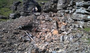 |
| Image 6 ID | 1056 Click image to enlarge |
| Image 6 Description | General view of location of hand level on East bank of Slei Gill | 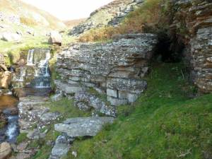 |
| Image 7 ID | 1057 Click image to enlarge |
| Image 7 Description | Looking into hand level on East bank of Slei Gill | 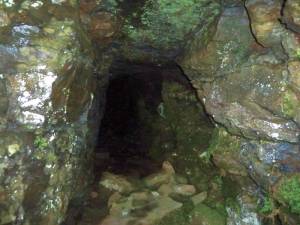 |